
SFI Moorland Surveying App - Getting Ready for ELM
What is the SFI Moorland Surveying App?
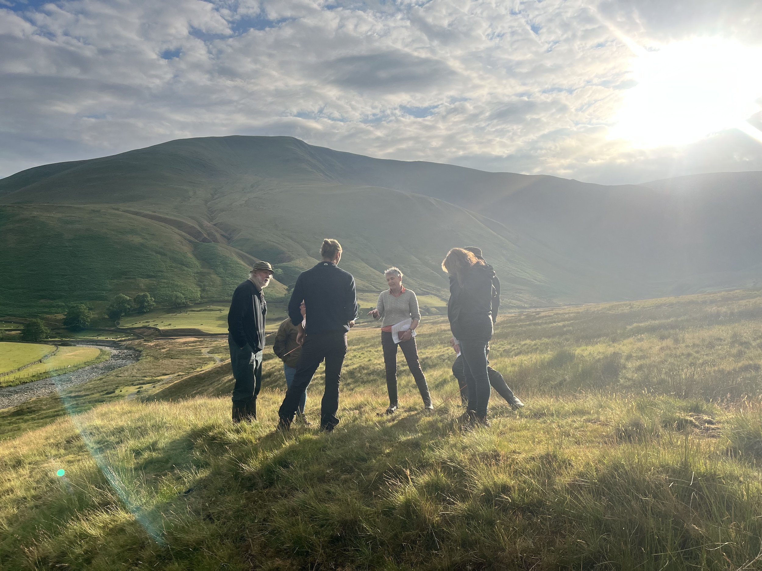
The SFI Moorland Surveying App is a service offered by the Foundation for Common Land (FCL) to enable those with an SFI Moorland agreement to complete the actions required of the M0R1 action.
This service is open to anyone who needs it and is available for use on common and non-common land.
The app allows you to collect all the information required for the M0R1 action, form a baseline to evaluate the public goods the land offers and identify opportunities for public goods.
Since July 2023, the service has been open nationally to everyone who needs it. We are thrilled that over 150,000 ha of land are currently signed up using the App. This app has been developed with heavy input from farmers and land managers, with the goal of being as user-friendly as possible, bringing in and retaining more money within the farming community.
** Both members of the SFI App team are part time and work hard to respond promptly but it can take a few days to come back to you when workload is high. Please plan ahead if you have a particular timetable you are working towards. We seek to respond to queries within 5 working days. Reports can take up to two to three weeks to process. Thank you for your understanding.
Guidance notes and video
Before you apply, you must have an internal agreement for SFI Moorland. This must be separate from your HLS/CS internal agreement. You are welcome to use our SFI Internal Agreement template and adapt it for your association. Alongside it is a How-to Guide and a set of FAQs.
We have also created guidance notes on how to create a live register for your common. Including a live register template.
The 6-minute video below features one of our users discussing the app:
You can also watch our webinars on SFI Moorland on our YouTube channel. More information on SFI Moorland is available here.

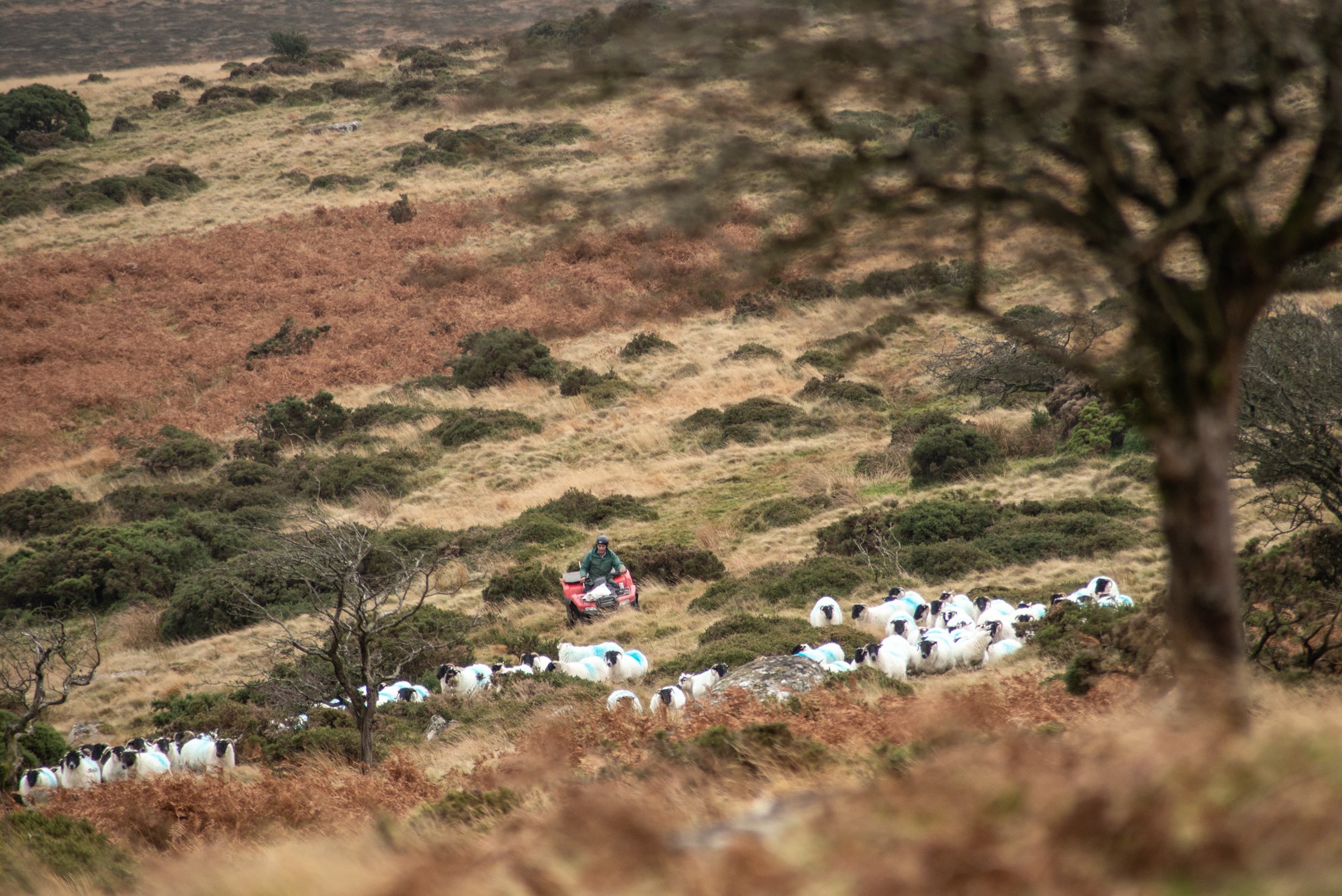
The app can be used with and without a phone signal and allows multiple users per project.
This means multiple users can be out surveying the area in the SFI agreement at the same time (our current record is 12 surveyors on one project).
The charge for this service in 2025 will be 60 pence per ha (ex VAT) per year or a fixed fee of £90 (ex VAT) per year for projects below 150ha. The service includes:
The generation of SFI survey points (1 per 10 ha) divided into multiple areas for different surveyors (you choose your survey areas)
A project set up for data collection on the Mergin App
Storage of your data in Mergin and provision of a Moorland survey data package to import into either your Land App Project, or an alternative mapping package
Maps showing the key public goods on your moor: peat depth, surface roughness and SFI vegetation data
A detailed spreadsheet (a Moorland Recording Tool) with Summary Charts showing the existing public goods and opportunities for enhancing public goods
Support for integrating photos into your Land App Project
Full online training resources, templates and troubleshooting support
Frequently Asked Questions
-
Yes, all SFI22 agreements are still live and so you will need to undertake your survey once in each year - the RPA will contact you about switching your SFI22 agreement to a SFI23 agreement
-
Yes, this is true. Following a successful beta trial with FCL, the RPA and three commons the controlled rollout of the SFI23 M0R1 action on common land has begun. All commons that submitted an expression of interest will be contacted in the order that they were submitted. If you have not done this then please email RPA at ruralpayments@defra.gov.uk with ‘SFI 2023 Commons/Shared Grazing Agreements’ in your subject line. Please see Applying for an SFI agreement on gov.uk.
-
Yes, the FCL Digital Survey App is fully functional and can be used whether or not your agreement was set up off-line or online. Your Survey data is stored totally separately from your agreement. The FCL Digital App is a service run by FCL that is completely separate to the RPA.
-
If you have been told by the RPA that your common is not eligible for M0R1 due to BPS issues then it is likely a mistake. Due to a computing miskake an email was sent out in October informing a large amount of commons that they could not apply to SFI. This was sent out by mistake and all those who were sent it should have been contacted to say this. If you are still being told this by the RPA it is likely because the agent who you are dealing with has not passed your question or case to the RPA commons team. In this case please send an email to sfi@foundationforcommonland.org.uk stating your SBI and customer name so we can bring this up to the commons team. We have dealt with this situation on three occasions and in all of them the customer was contacted within a day or two by the RPA to clarify that they were in fact eligible.
-
Non common moorland can apply through the automated process as normal from the 18th September 2023, please login to the Rural Payments service to begin your application.
History of the SFI Moorland Surveying App
From 2022-2023 the Foundation for Common Land (FCL) led a unique Test and Trial (T&T), Road Testing the SFI22 Moorland Standard on three upland Commons.
Through this we developed the app that proved to be a valuable asset when data collecting for the SFI Moorland Survey. Engagement events that we held with over 110 attendees showed the need for the app and to date we have helped users survey over 40,000 ha of land.